
Barramunga Loop
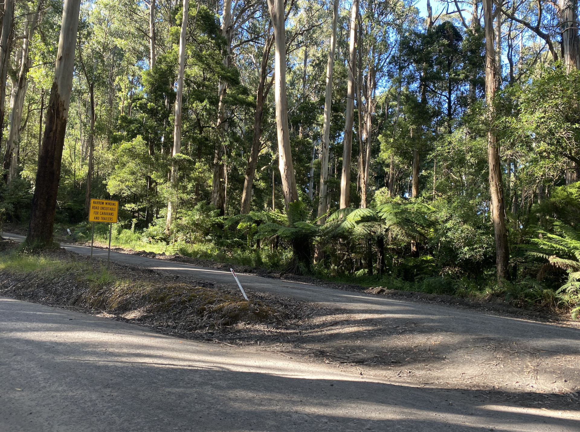
This loop takes you out up Roadknight Creek Rd, but from there you head South West on Barramunga-Roadknight Rd till you reach Upper Gellibrand Road. This road would take you to Stevensons Falls if you want, but for the 20km loop, turn left which takes you back to the Forrest-Apollo Bay Rd. From here you need to ride the bitumen back to town. This road can be very busy so high vis and lights are recommended. Avoid peak times.
Stats
The route is 20km long and has 430 vert metres. My time of 1:23 was ridden at an average speed of 15kmph.
Course Terrain
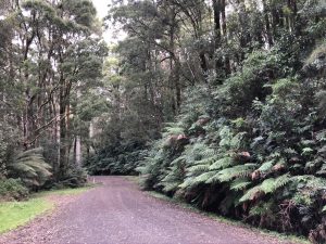
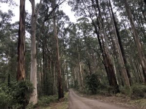
There is a short section of bitumen to take you out to Roadknight Creek Rd. From here it is gravel until the final leg back on bitumen into town on the Forrest-Apollo Bay Rd.
Course Route
- Leave Forrest via Turner Drive, next to the Brewery and ride for 1.3km.
- Turn left when it intersects the Colac-Forrest Rd and ride 1.5km.
- Turn left at Roadknight Creek Rd, ride this for 6.1km.
- Turn left onto Barramunga-Roadknight Rd and follow this for 3.4km.
- Turn left onto Upper Gellibrand Rd and ride 1.4km.
- Turn left onto Forrest-Apollo Bay Rd and ride it 6.7km back to town.
Tips
Phone reception will be patchy as you near Barramunga.


| Route Name | Distance | Vert Metres | Loop/Point to Point |
|---|---|---|---|
| Thompsons Loop | 31 | 830 | Loop |
| Pipeline Track | 25 | 646 | Loop |
| EC Loop | 39 | 870 | Loop |
| Kawarren Loop AC/ | 48 | 850 | Loop |
| Forrest to Apollo Bay - Sunnyside Down | 50 | 880 | Point to Point |
| Barramunga Loop | 20 | 430 | Loop |
| Dewings Bridge Loop | 26 | 320 | Loop |
Pipeline Track Loop
Pipeline Track Loop, Kawarren The Pipeline Track loop is an easy introduction into gravel grinds in the Otways. Stats Just shy of 25km, 646 elevation, this loop will take about 1.5 hr at an average speed of 17kmph. Most of the climbing is at the start on Roadknight Creek rd. Course Terrain You start with … Read more
Read More- « Previous
- 1
- 2